

- What makes the Paanajarvi NP unique is, firstly, the virtually intact northern taiga forest area preserved here in a low-mountain landscape. Secondly, the area is predominantly occupied by spruce forest, which is not typical of northern taiga in Eastern Fennoscandia. Also, the park is situated in Russia’s Arctic zone, where the nature is vulnerable and sensitive to climate change. Research of the NP’s landscapes is prioritized in the studies of the Arctic zone of Karelia, - explained Boris Raevsky, Expedition Leader, Leading Researcher of the Department for Multidisciplinary Research (DMR) KarRC RAS.

Pristine spruce forest in the Paanajarvi National Park
Even after all these years of work, Paanajarvi NP forests – the main biotic component of its ecosystems, remain understudied. This is especially true for the structure and the natural and anthropogenic dynamics of the protected forest within NP boundaries as well as the surrounding areas. Now, three decades after the park’s designation, as Boris Raevsky stressed, the information available on nearly all components of the park’s biodiversity has generally become outdated and requires a major revision and supplementation. This can be done only by organizing integrated monitoring surveys using modern methods and technologies.
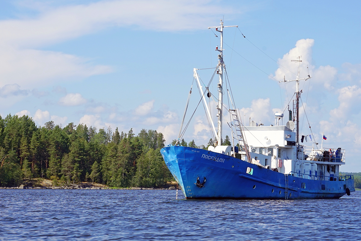
In this sense, the expedition of DMR KarRC RAS staff to the Paanajarvi NP, with specialists in multiple disciplines working in the field from June 25 to July 2 this year, is the first step of a new phase of such studies. This expedition was implemented within state-order research theme “Designing an ecological monitoring system for the arctic zone of Eastern Fennoscandia”.
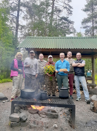
Expedition team
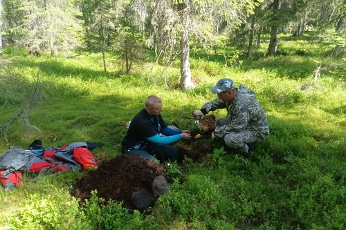
Surveys were carried out in the permanent sample plots established in 2008 and 2012. The activities this year included a new tree stand valuation survey, description of the soil cover and soils, sampling of the forest floor. Additionally, a ground-penetrating radar was used to explore the formation of spruce root systems both on thick morainic deposits and where bedrock is close to the surface.
Another task for the team was to set up monitoring and investigate changes in the park’s vegetation using remote sensing data. These tasks are interrelated, but not so directly.
– The last management inventory in the park dates back to 1991. One of the tasks is to produce an up-to-date spatial land cover model, covering not only the park but also the adjacent territory to be able to compare the changes that have occurred in the area not affected by forestry versus forests under human impact, – remarked Boris Raevsky.
The spatial model will be created by scientists of DMR KarRC RAS using medium- and high-resolution surveys. The scientists’ task in the current stage is to visualize how much the forests have remained intact.
Photos from Boris Raevsky’s archives / DMR KarRC RAS