

– Supplementing the traditional set of soil research methods with GPR sensing we get the possibility to probe substantial spaces – up to several kilometers within a day. This is a more efficient way to find regions with soil transformation due both to global environmental changes and under human impact. The following situation can be given as an example: say, there happened a diesel fuel spill which partially seeped down the soil column so that there are no clearly visible signs of contamination. Manual soil sampling would take a long time while GPR data deliver a primary outline of the contaminated site relatively quickly and at low cost. This method would also be useful in precision agriculture, where one deals with large crop areas that need to be analyzed say, for soil moisture. Lastly, GPR helps scientists spot new interesting natural objects for subsequent closer investigation, – explains Pavel Ryazantsev, geophysicist, Senior Researcher at the Laboratory for Environmental Monitoring and Modeling DMR KarRC RAS.
The July issue of a reputable international journal CATENA featured an article by Pavel Ryazantsev and Olga Bakhmet, renowned soil scientist, RAS Corresponding Academician, Laboratory Head, KarRC RAS Director General. In this article the scientists recapitulated on the global experience of applying remote sensing methods in soil research and reported the results of their own efforts in GPR-based description of the horizons of Podzolic soils in boreal forests of central Karelia.
According to Pavel Ryazantsev, development of remote sensing techniques is a global trend. However, there is no universal solution for this problem so far. The diversity and morphological complexity of soil types make the task even more challenging, especially considering that some soil properties can vary depending on climatic conditions and over time.
– Almost every single case is specific and unique, so a global database has to be compiled to work out universal methodology for GPR surveys, – the geophysicist remarks.
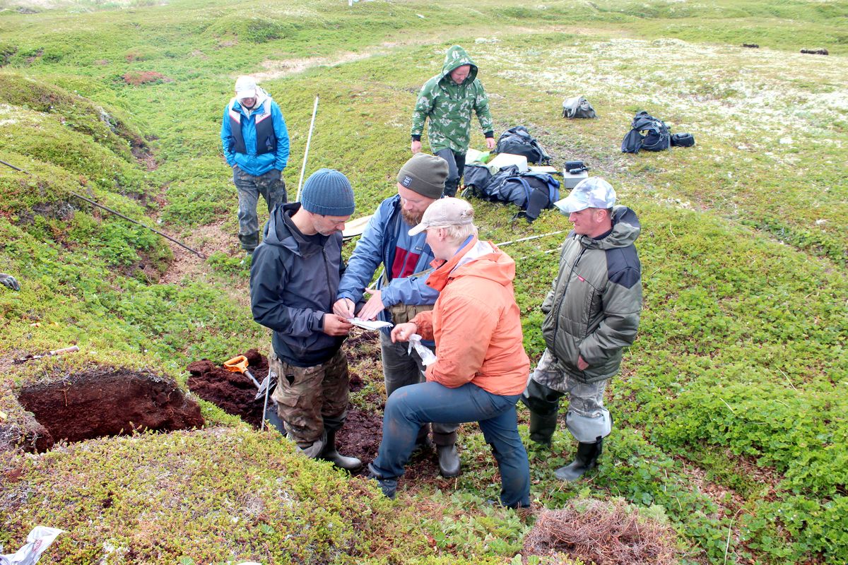
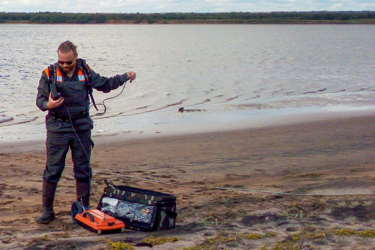
Researchers from DMR KarRC RAS are now working with the soil types characteristic of Karelia. One experimental plot is located in Zaonezhye area, where soils form over carbon-rich shungite schists, and another one – in the Kivach Nature Reserve, where Karelia’s typical Podzols are analyzed. The plots were thoroughly pre-studied by soil scientists from the Forest Soil Science Laboratory of the Forest Research Institute KarRC RAS: they manually collected samples from different horizons, described the vegetation, etc. Pavel Ryazantsev, in turn, scanned these sites with a GPR device. The results are then compared to determine how reliable GPR data are.
–We study the electrophysical properties of each genetic horizon in soil sections and determine which ones are most vividly expressed in geophysical fields. Knowing this, we can analyze GPR data correctly and most efficiently and infer the exact geophysical attributes of the studied soil types. Matching soil characteristics to registered GPR signal parameters is a prerequisite for finding out the method’s capabilities and limitations, – Pavel Ryazantsev explains.
The work done so far has already revealed that GPR sensing helps detect even shallow soil horizons with high accuracy, estimate changes in their electrophysical parameters both horizontally and depth-wise, and spot small-scale soil inhomogeneities. Scientists have also found that the parameters of the reflected GPR signal correlate with organic carbon content in the soil. This fact opens up new opportunities for soil carbon stock determination, which is important considering the demand for studying carbon deposited in soils globally, its distribution geography, and atmospheric emissions.
Photos by Stanislav Kutenkov, Nikolai Petrov